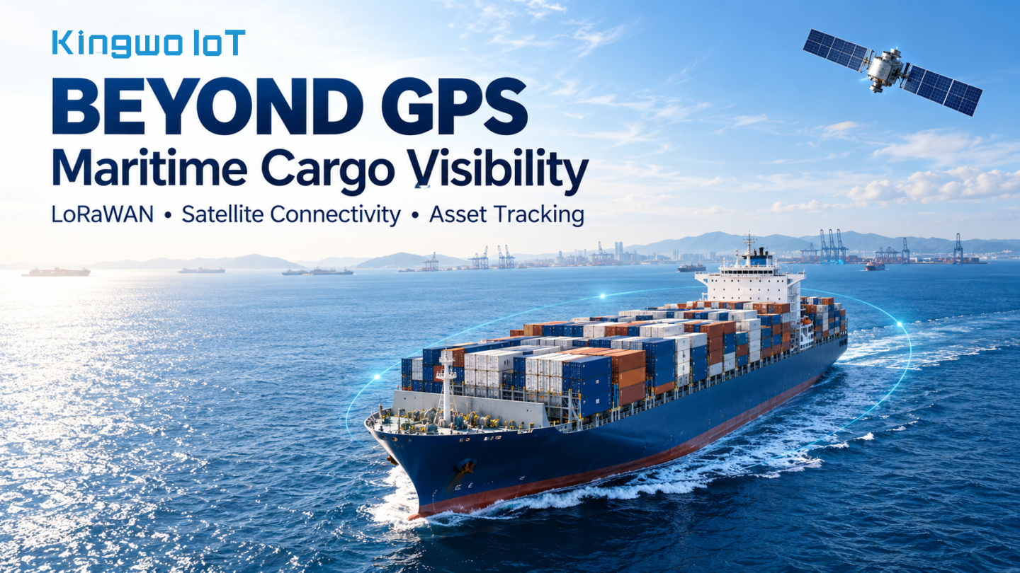

A shipping container can travel across an ocean while its owner receives very little information about the cargo itself. A vessel position update shows where the ship is sailing, but it does not establish whether a particular asset remains onboard, whether its monitoring device is operating, or whether an important event occurred during transit.
Recent industry deployments illustrate how maritime operators are addressing this gap. In a case study published in July 2026, TEKTELIC described an offshore logistics system developed by Nauticomm that combines Bluetooth asset tags, LoRaWAN infrastructure and satellite connectivity. The system uses local asset detection to help identify which cargo-carrying units are associated with vessels, offshore installations and shore bases. Success story
The engineering significance lies in the division of work. Small devices identify assets close to the cargo. Local wireless infrastructure collects their messages. A separate communication link carries the information beyond the vessel.
For maritime tracking, this layered approach deserves closer attention. It provides a way to design around the different requirements of positioning, local communication and long-distance data delivery.
A GNSS receiver determines its position by receiving navigation signals from satellites. GPS is one GNSS constellation; other systems include Galileo, BeiDou and GLONASS.
In a conventional standalone GPS solution, the receiver measures the apparent travel time of signals from multiple satellites. These measurements, known as pseudoranges, allow it to estimate position while accounting for its clock error. A typical three-dimensional solution requires signals from at least four satellites. The receiver performs the calculation locally. It does not need to transmit its position back to the navigation satellites. GPS.gov
This explains a common tracking problem: a device can calculate a valid position without being able to deliver that position to an operator.
A cellular tracker on an exposed container may continue receiving GNSS signals after the vessel leaves terrestrial mobile coverage. However, its cellular modem may have no available network through which to upload the result.
Satellite communication supplies a separate data path. A compatible transmitting terminal sends information through a communications satellite network and onward to ground infrastructure and the customer's application. Iridium, for example, describes a network in which satellite cross-links route traffic through its constellation before delivery through ground gateways. Iridium
A maritime tracking specification therefore needs to answer two separate questions: how the asset's position will be obtained, and how the resulting information will reach shore.

LoRa is a radio modulation technology. LoRaWAN defines the network protocol used to connect compatible end devices through gateways and network servers.
In its conventional architecture, an end device transmits a message that one or more gateways can receive. The gateways forward the radio packets to a network server over an IP connection. Ordinary LoRaWAN devices do not automatically relay one another’s messages as a mesh network. LoRa Alliance®
For maritime cargo, a proposed architecture could assign the following responsibilities:
| Layer | Responsibility |
|---|---|
| Asset terminal | Record identity, position where available, and supported sensor events |
| LoRaWAN radio link | Carry compact messages to an accessible onboard gateway |
| Gateway and edge system | Forward messages and, where implemented, buffer and prioritize records |
| Satellite or cellular backhaul | Transport data beyond the vessel |
| Application platform | Associate records with assets, journeys and operational alerts |
In this design, the asset terminal communicates across the local radio environment. The satellite connection carries the aggregated information over the much longer distance to shore.
This distinction matters commercially. Several assets can share a vessel's backhaul infrastructure, although the economics depend on gateway installation, integration, satellite service charges and the number of participating assets.
There is already precedent for maritime LoRa-based monitoring. In May 2022, Semtech reported that Boluda was implementing WITRAC’s monitoring platform across seven container vessels serving the Spanish mainland–Canary Islands corridor. The deployment combined several connectivity technologies for cargo visibility and temperature monitoring. It demonstrates a maritime application of hybrid connectivity, rather than evidence that a single radio technology provides universal ocean coverage. Semtech
A container ship presents a difficult radio environment. Steel walls, container stacks, bulkheads and changing cargo arrangements can block or redirect signals. A terminal installed successfully on an empty deck may behave differently once containers surround it.
Therefore, test GNSS reception and the LoRaWAN link separately. An asset device might reach a nearby gateway while failing to obtain a fresh satellite position. Conversely, it might obtain a position but fail to deliver its message because the local communication path is obstructed.
LoRa's receiver sensitivity can support challenging links, but it does not eliminate the need for antenna clearance, suitable gateway locations, and representative testing. Semtech documents a trade-off between spreading factor, sensitivity and airtime: settings that improve the link budget also increase transmission duration, with consequences for energy use and network capacity. Semtech
For a proposed vessel deployment, the engineering survey should include representative loaded configurations, exposed and obstructed mounting positions, and both uplink delivery and required downlink behaviour. Coverage should be measured where the assets will actually travel.
Lloyd's Register highlighted the importance of onboard validation in its April 2026 discussion of cargo-monitoring technology, identifying humidity, salt, vibration, temperature variation and changing operating conditions as factors that distinguish ships from warehouses. LR
An independent GNSS fix and an association with a vessel are different forms of evidence.
Where an asset has sufficient satellite visibility, the platform may receive coordinates measured by its own receiver. Where GNSS reception is unavailable, an onboard system might instead report that a gateway recently detected the asset's identity.
If the asset is reliably associated with a vessel, the application can use the vessel’s position as an inferred geographic reference. That inference should remain visible to the user.
A useful platform design would distinguish:
These are proposed data-design practices, rather than claims about a specific deployed product. They help prevent an old coordinate or an inferred position from appearing as a fresh, independently measured location.
Gateway reception alone also requires interpretation. At a busy terminal, a device could be heard by infrastructure on a neighbouring vessel or the quay. Loading records, repeated detections and operational handover confirmation can strengthen the association.
Many transport assets have no convenient power supply. For suitable ferromagnetic surfaces, a battery-powered magnetic terminal offers a practical way to attach tracking hardware without drilling or installing a wiring harness.
That flexibility can support temporary deployments, reusable assets and pilot projects in which operators need to evaluate several mounting positions before committing to a larger installation.
The mounting position still has to serve three purposes: retain the device, protect it from handling damage and allow its antennas to operate.
For a maritime evaluation, proposed checks should include retention on painted or corroded surfaces, vibration, impact exposure, saltwater effects, antenna orientation and clearance from moving equipment. Secondary retention may be appropriate where detachment would create a hazard or interrupt monitoring.
Magnetic attachment, ingress protection and marine suitability should each be assessed on their own evidence. A strong magnet does not establish radio performance, and an enclosure's water-resistance rating does not by itself establish long-term resistance to salt corrosion.
For asset-tracking suppliers, installation engineering is consequently part of the solution. A terminal’s position on the asset can be as important as its radio specification.

Low-power radio is only one part of a battery-powered tracker's energy budget. Position acquisition, sensing, processor activity, receive windows and repeated communication attempts also consume energy.
A proposed maritime terminal should change its behaviour according to operational state. During loading or unloading, more frequent observations may help identify handovers. During a stable voyage, a lower reporting rate may be sufficient. Supported events can trigger additional records when something changes.
GNSS acquisition should also have a defined time budget. Repeatedly attempting to obtain a fix in an obstructed position can consume energy without improving the information available to the operator.
LoRaWAN Class A devices support low-power operation by opening short receive windows after uplink transmissions. This also means that ordinary Class A downlink commands wait for an appropriate receive opportunity; they should not be presented as continuously available instant control. LoRa Alliance®
The operational target should be a useful delivery interval under defined conditions. Battery-life estimates should state the reporting schedule, positioning behaviour, temperature assumptions and expected communication conditions.
A vessel may successfully collect asset messages while its shore connection is unavailable. Those records can still be valuable if the system preserves when they were generated.
In the proposed architecture, a gateway or edge application with storage could buffer records and upload them when backhaul returns. This capability requires explicit implementation; it should not be assumed from the presence of a LoRaWAN gateway.
The application should preserve the event time separately from the upload time. A message generated during the voyage and delivered after arrival belongs in the voyage history, rather than appearing as a new arrival-time event.
The same distinction applies to alarms. Local detection, onboard notification and shore delivery can have different delays. Any promised response time needs to account for all three.
LoRa-related satellite services are also being developed and deployed. The LoRa Alliance has described direct-to-satellite initiatives using LR-FHSS, while Semtech offers radio hardware supporting terrestrial and satellite frequency bands. resources.lora-alliance.org
These developments create additional design options, but an ordinary terrestrial LoRaWAN terminal should not automatically be described as satellite-capable. Compatibility depends on the radio hardware, firmware, antenna, operating frequencies and satellite service.
For cargo obscured by steel, satellite visibility remains an installation constraint. A direct satellite link therefore needs its own coverage and delivery assessment.
International routes introduce another consideration: LoRaWAN regional parameters define different channel plans and operating constraints. A global deployment needs a frequency and regulatory plan appropriate to the locations in which equipment operates. LoRa Alliance®
The proposed approach is to use each technology where it contributes most: GNSS for position measurement when reception permits, LoRaWAN for compact local messages, and satellite or cellular connectivity for delivery beyond the vessel.
A pilot should establish more than maximum radio range. It should measure successful asset identification, message delivery under loaded conditions, shore-delivery delay, battery consumption and mounting reliability. It should also examine whether asset associations remain correct during loading, transfer and unloading.
For Kingwo IoT, this provides a practical direction for discussions around magnetic asset tracking: begin with the asset, its installation position and the information the operator needs, then select the communication architecture that can support the journey.
The value of maritime tracking comes from dependable records across those handovers. A coordinate becomes useful when the operator can see which asset it represents, when it was obtained and how confidently it describes the cargo's current situation.
By Kailiang Tang
Acting Marketing Director, Kingwo IoT
 news
 news
 news
 news
 news
 news
 news
 news

English

French

Portuguese

Spanish